|
|
Willow Road Air Raid maps |
|
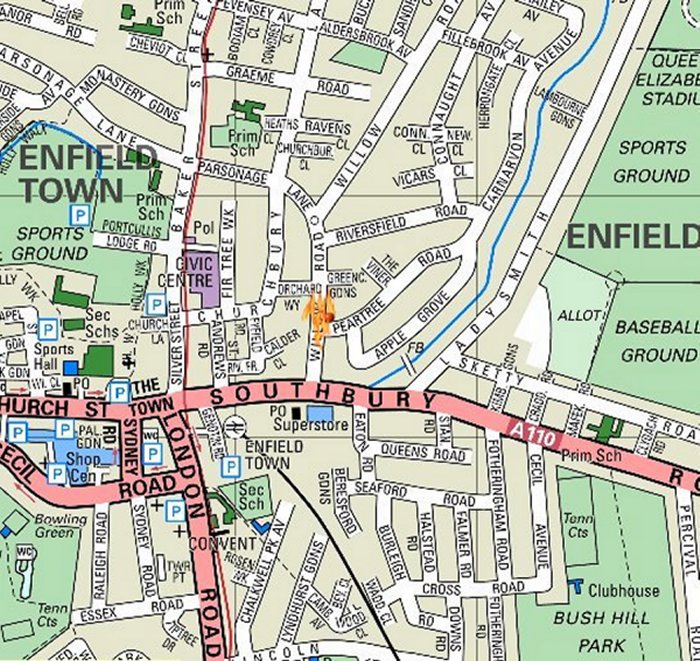
The red dot on the map above shows the position of the Air Raid
Wardens post.
The flames show where the parachute mine exploded.
Click on the map above to display a bigger
picture
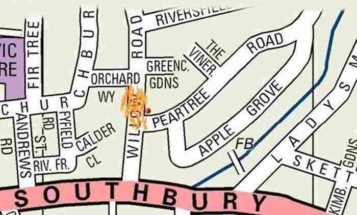
A map showing the area in closer detail. Again the red dot shows
the location
of the Air Raid Wardens post and the three gold dots show the
location
of the damaged houses.
Click on the map above to display a bigger
picture
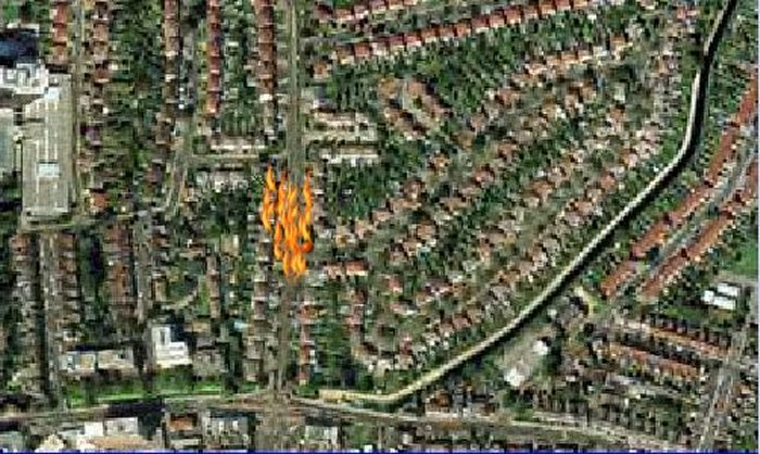
An aerial photograph of the map above – the
houses in this area were built in
the late 1930’s and were new houses when
the air raid happened in 1940.
Click on the map above to display a bigger
picture


